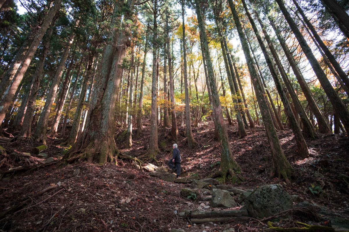
Mt. Sangun
Mt. Sangun, a 936m peak located between the Fukuoka plain and the Chikuho basin, is the highest mountain in Umi Town. It has something to see in every season, from wildflowers in spring to foliage in the autumn and the great icicles of Kawaradani Valley in the winter. On a clear day, there are views of the Ariake Sea, Mt. Fugen, Mt. Hiko and the Kuju mountains. Nearby Mt. Homan and Mt. Wakasugi are popular for hiking, especially the traversal route.
Location data
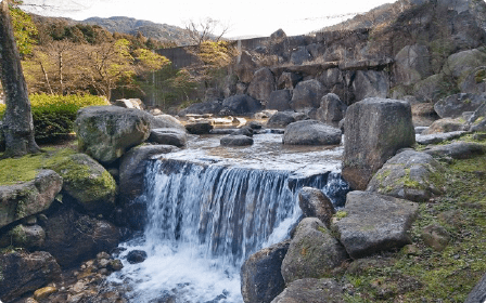
Ipponmatsu Park
A forest park in the foothills of Mt. Sangun. Picked as one of the top 100 Shinrin Forest Bathing Spots in Fukuoka Prefecture, the scenery is excellent in every season, be it the cherry blossoms, azaleas, rhododendrons and fireflies in the spring and early summer, changing leaves in the autumn or camellias in the winter. Bungalows in the park offer accommodation, and camping and BBQs are popular in the spring and summer, when the park is brimming with families and groups.
■Amenities
Parking: Yes / Toilets: Yes / Water station: No / Camping: Yes
Sightseeing information
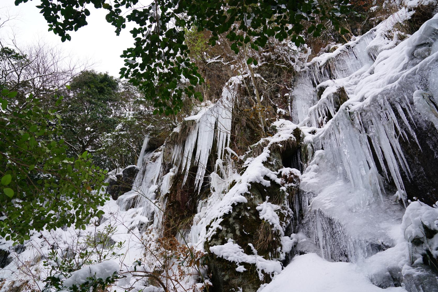
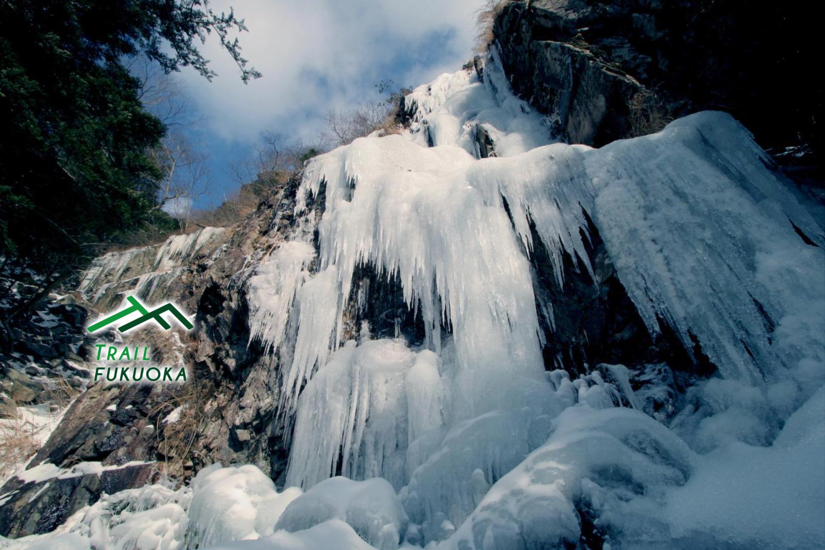
The Great Icicle of Kawaradani (a.k.a. Nanshoga Falls)
Hiking up the Kawaradani Valley of Mt. Sangun for about 90 minutes, you come upon the great icicles of Kawaradani (commonly known as Nanshoga Falls), located at an altitude of 724m. In January and February, water seeping from the rocks and snowmelt freezes and forms icicles on the rock face. If the cold weather continues, the icicles can reach a spectacular 20 meters. Many people come here to catch a glimpse of the magnificent ice sculptures.
*When hiking or climbing here, bring appropriate clothing for the cold and climbing equipment such as crampons.
TRAIL MAP
Google Maps may not display correctly if left open for more than 1 day
- See related websites (Japanese website)
- See more detailed hiking information (YAMAP) (Japanese website)
Share
 Next article for you
-
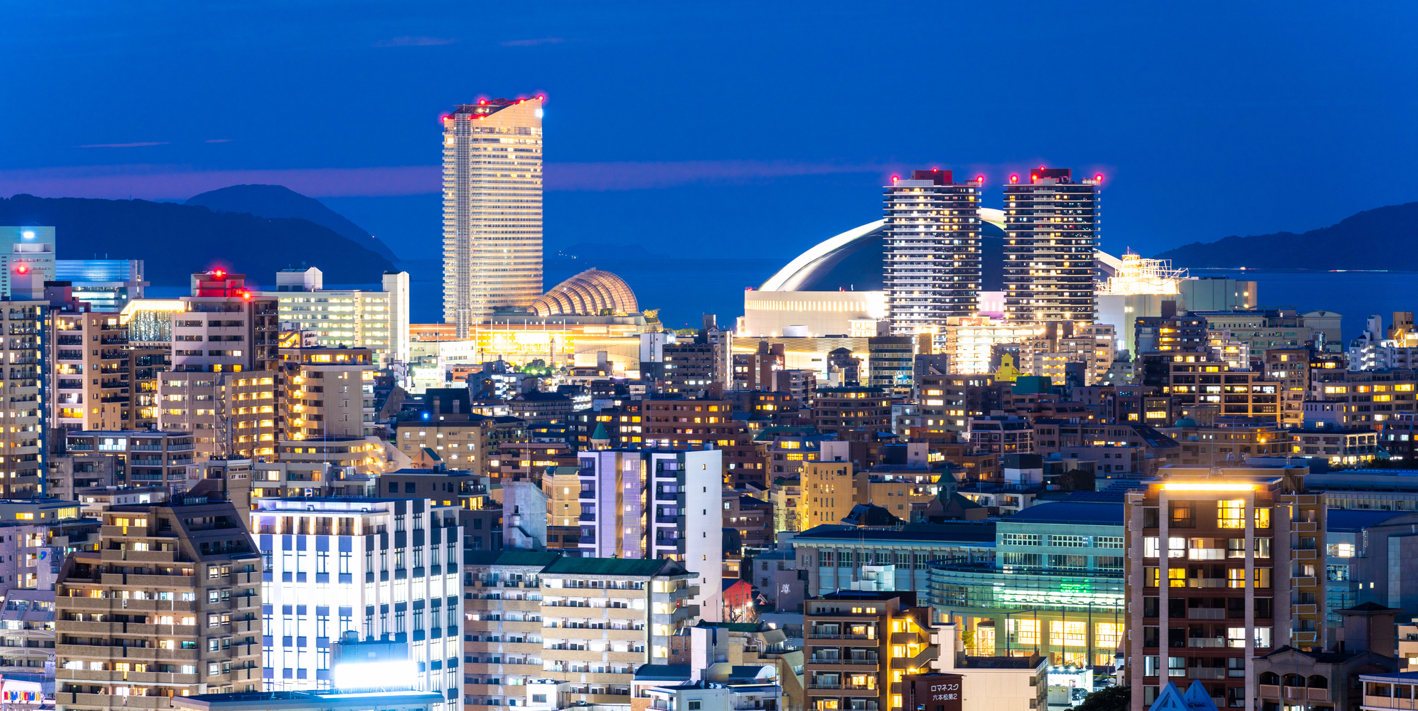
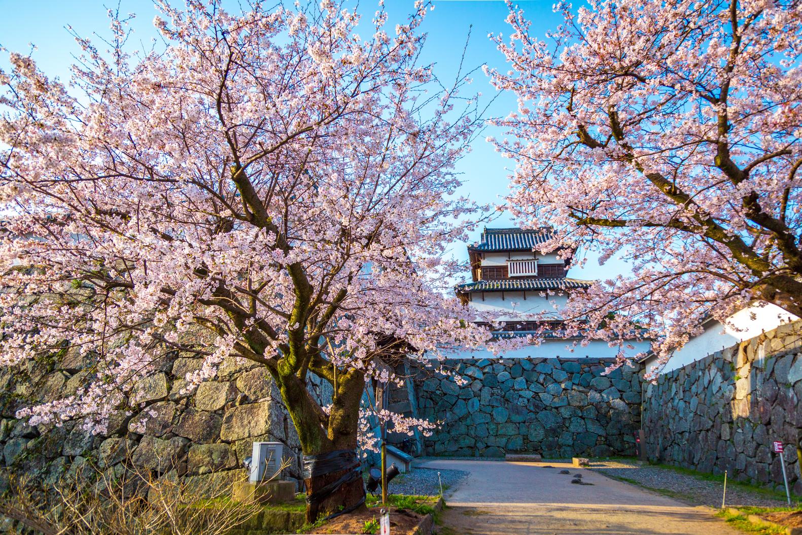
【2024~2025】Light up places in Fukuoka
-

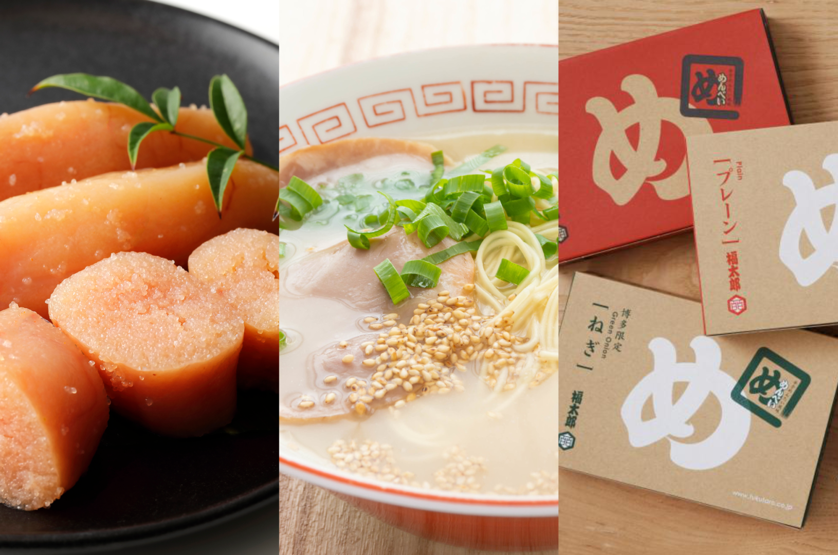
10 Recommended Dishes in Fukuoka! Discovering the Region’s Finest Foods
-
Exploring Food Culture of the Chikugo Region in Fukuoka Prefecture
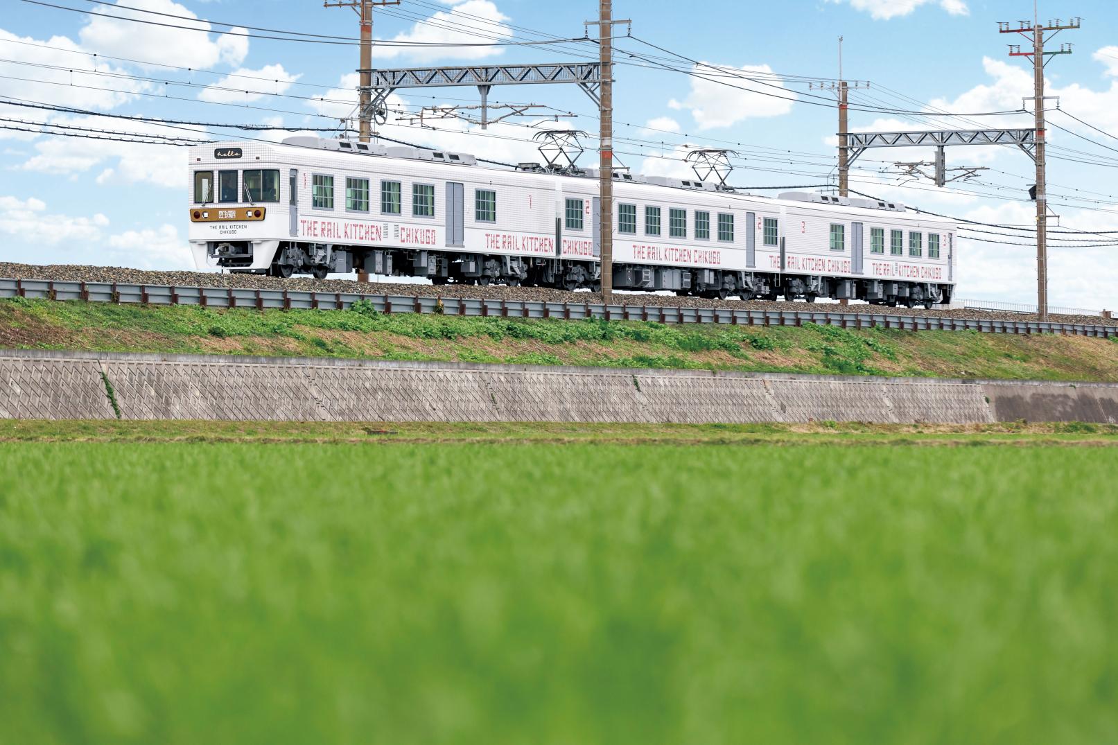
Exploring Food Culture of the Chikugo Region in Fukuoka Prefecture
-
Here are the most popular souvenirs of Fukuoka that you won’t want to miss!
-
![[2024 Edition] Your Guide to Fukuoka Prefecture's Best Fall Foliage Destinations-1](https://www.crossroadfukuoka.jp/storage/special_features/279/responsive_images/49m7voPHQ1J9tJsmiguwSxPT6qZON51ATRvm5NJK__1673_1115.jpg)
[2024 Edition] Your Guide to Fukuoka Prefecture's Best Fall Foliage Destinations
-
TIPS FOR TRAVELING IN FUKUOKA PREFECTURE
-
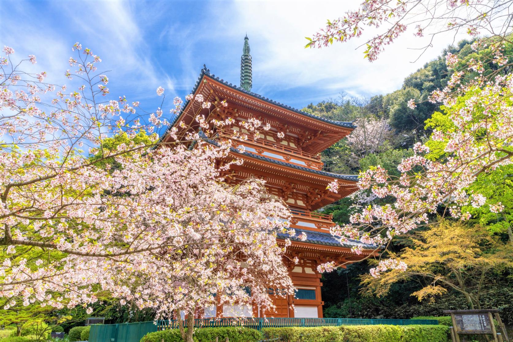
10 Recommended Shrines and Temples in Fukuoka!
-
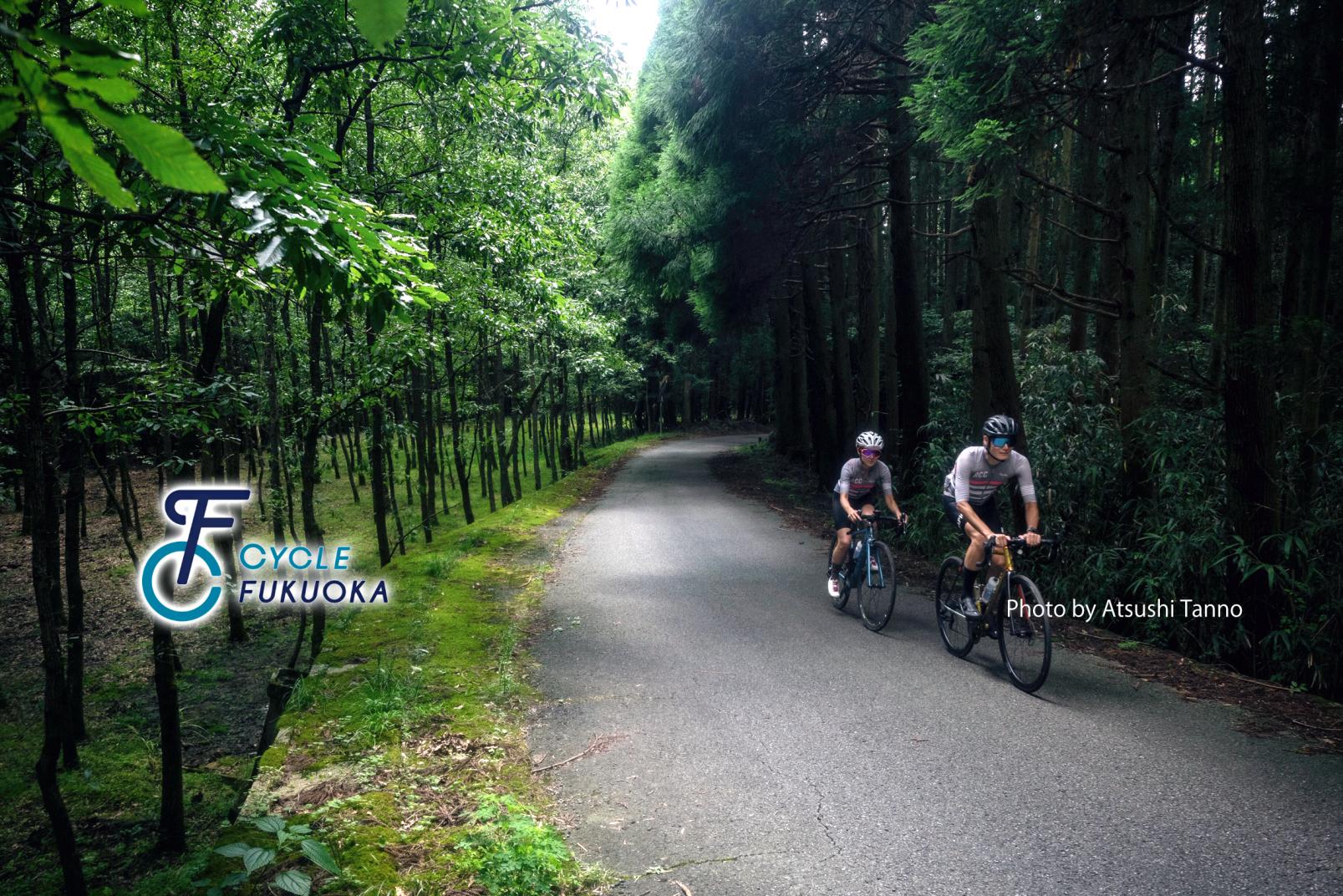
CYCLE FUKUOKA
-
How to experience Mojiko Retro in Kitakyushu
-
![[2024 Edition] Enjoy the New Year in Fukuoka! Special Feature on First Sunrise and Hatsumode-1](https://www.crossroadfukuoka.jp/storage/special_features/303/responsive_images/WMWmetE3zassCD8JlncouwivzCqCrrAAwwhp5OGF__1669_866.jpg)
[2024 Edition] Enjoy the New Year in Fukuoka! Special Feature on First Sunrise and Hatsumode
-
Mt. Hiko: Fukuoka's Sacred Mountain, Pilgrimage Route, and Autumn Leaves Spot
-
TRADITIONAL JAPANESE CRAFTS OF FUKUOKA ~Present Day Breath-taking Craftsmanship~
-
Ukiha, The Charming Spell Of The Countryside
-
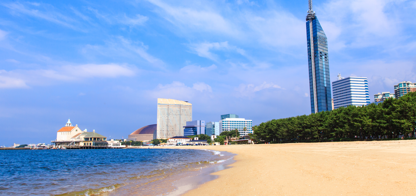
Local Life in Fukuoka City: Art, Beaches and Coffee
-
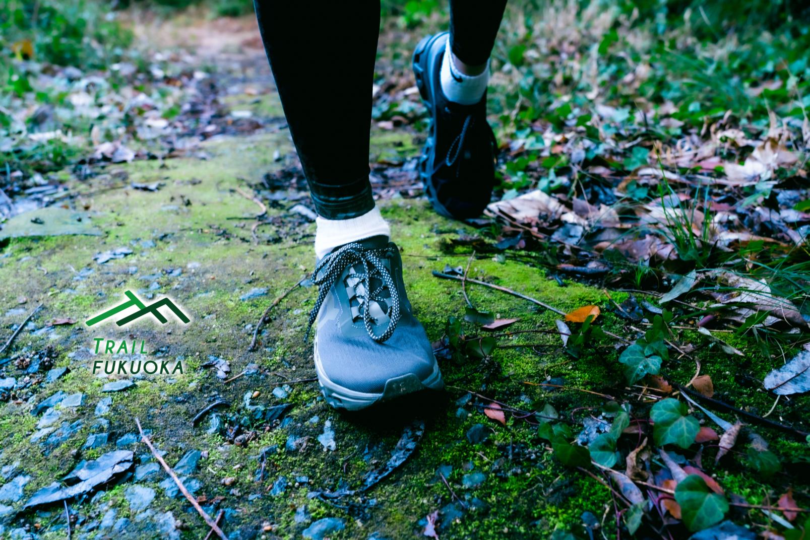
TRAIL FUKUOKA
-
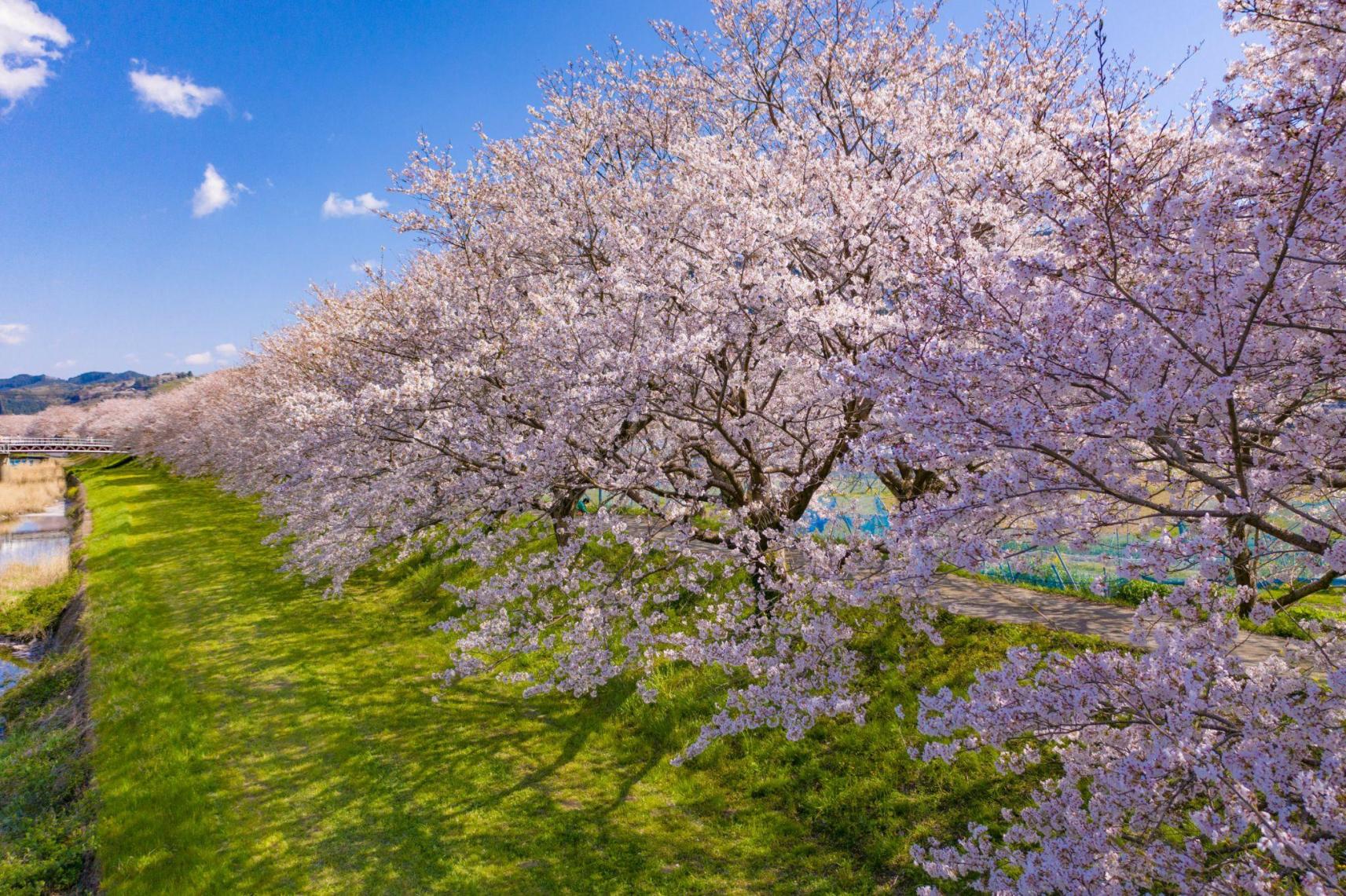
Four Seasons of Flowers in Fukuoka Prefecture
-
Fukuoka Prefecture, Kyushu’s Architecture Wonderland
-
15 Recommended Parks in Fukuoka: Everything from Playing, Sports, and Walking to Spectacular Views♪
-

Rent a Car in Fukuoka! Introducing the Foreign Expressway Pass KEP
-
Introducing day trip hot springs, spas, and Super Sento baths in Fukuoka