CYCLE FUKUOKA
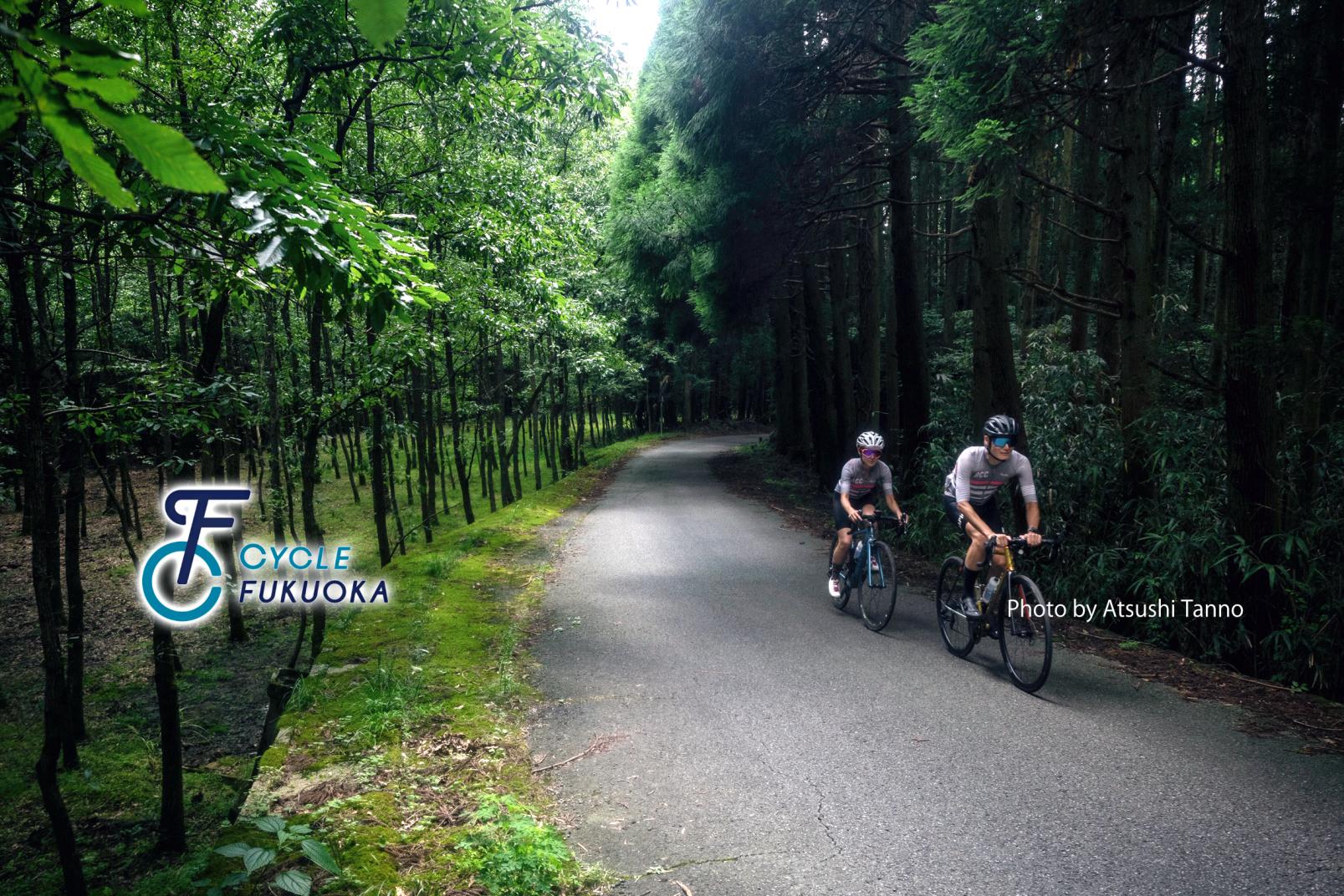
Enjoy "Cycle Tourism" in Fukuoka, a place where towns and the great outdoors co-exist.
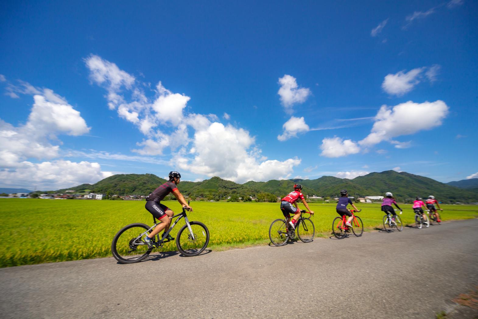
While Fukuoka is the biggest city in Kyushu, it also offers the best urban experience while also offering easy access to an abundance of beautiful natural spots, with world heritage sites near the ocean and in the mountains, historic towns, tranquil country landscapes and various other vistas and views. Ride a bicycle. Enjoy a wonderful trip here.
【Instagram】
CYCLE & TRAIL FUKUOKA(@cycleandtrailfukuoka)
Long Distance Rides
Notice of Detour for “Fuku10 Route / Buzen–Toho Route”
Due to a section of National Route 496 being closed following the heavy rainfall in July 2023, a detour has been put in place from Notoge(野峠). Using the detour will extend the riding distance by approximately 40 km, increasing the total distance from about 61 km. Please ensure you take sufficient precautions, including staying well-hydrated while riding. (As of July 19, 2024)
Cycling Routes and Model Courses in Fukuoka Prefecture
Fukuoka-Itoshima Route
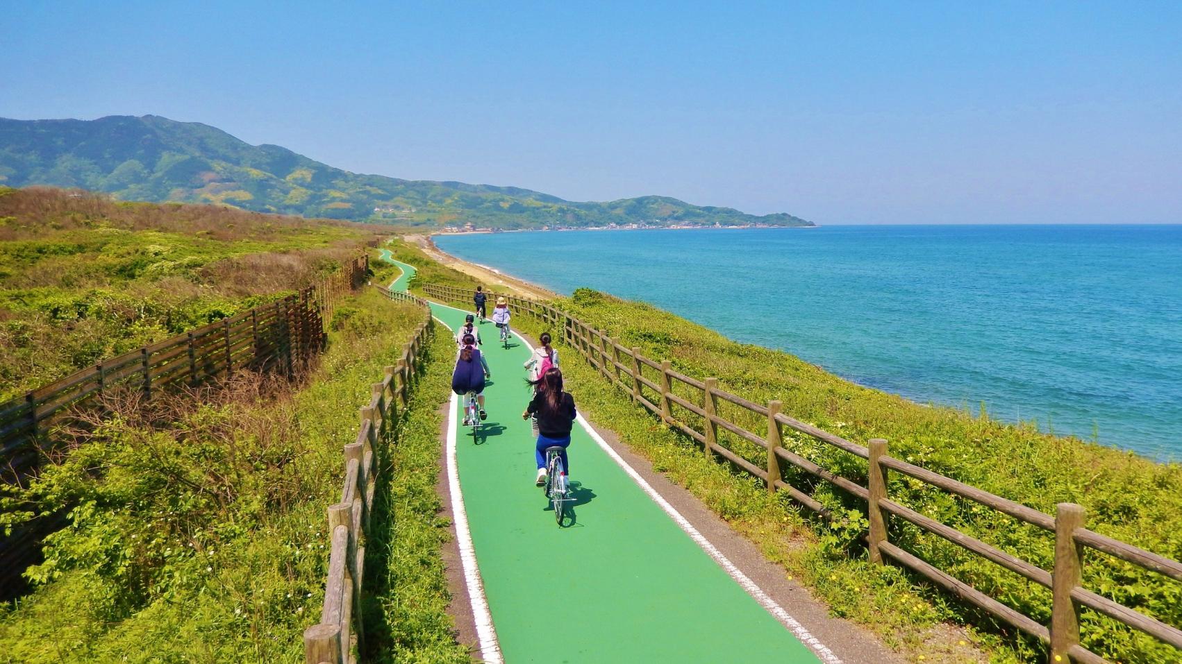
A popular cycling route, covering both famous places by the sea and a range of cafes in Fukuoka.
【Route Length】Approx. 78 km
【Elevation】Approx. 253 m
Munakata-Shikanoshima Route
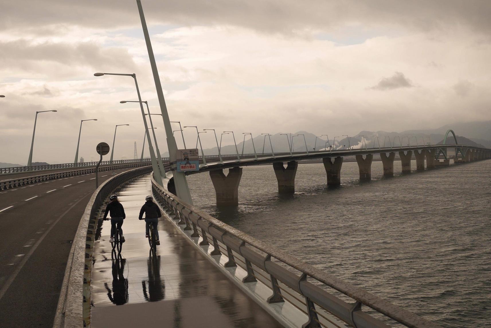
Enjoy the sea breeze while also jumping back in time on this route that covers Fukuoka's history
【Route Length】Approx. 51 km
【Elevation】Approx. 146 m
Munakata-Nogata Route
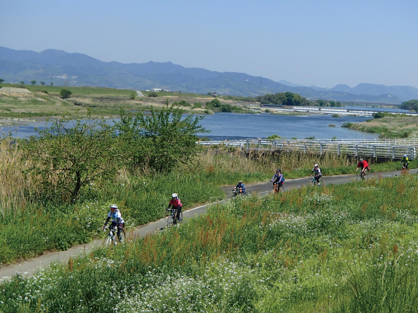
From ocean vistas to the Onga River, a route where you can enjoy the changing scenery
【Route Length】Approx. 39 km
【Elevation】Approx. 54 m
Kitakyushu (Moji)-Keichiku Route
A route full of all the charm of the Kitakyushu and Keichiku areas, from the ocean to the countryside, and historical towns
【Route Length】Approx. 89 km
【Elevation】Approx. 323 m
Asakura-Tachiarai Area Route
A mountain route with forest breezes and glimpses into castle town history and culture
【Route Length】Approx. 73 km
【Elevation】Approx. 578 m
Kurume-Ukiha Area Route
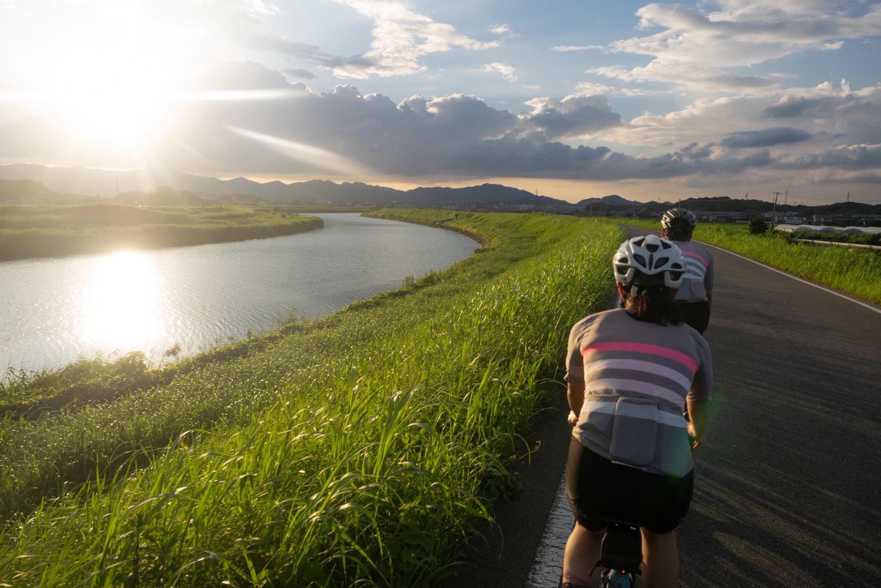
Enjoy the evening sun over the Chikugo River along with rural landscapes and orchards on this satisfying route
【Route Length】Approx. 77 km
【Elevation】Approx. 132 m
Kitakyushu (Moji)-Ashiya Route
A route that combines historical townscapes with fresh ocean breezes, scenic nature, and boats
【Route Length】Approx. 44 km
【Elevation】Approx. 118 m
Chikugo Area Route
Feel the history and culture of Chikugo, along with the aroma of tea on this route
【Route Length】Approx. 55 km
【Elevation】Approx. 90 m
Buzen-Toho Route
At an elevation of more than 1,500m! Fukuoka's most difficult!? Mt. Hiko range route
【Route Length】Approx. 61 km
【Elevation】Approx. 1599 m
Nakagawa-Omuta Route
Ride from the mountains to the town and enjoy the changing scenery on this up-down route
【Route Length】Approx. 86 km
【Elevation】Approx. 893 m
Nogata-Kama/Chikuho Area Route
A route where you can enjoy the scenery of the Onga River and Chikuho area, along with delicious sweets
【Route Length】Approx. 110 km
Via KawaraApprox. 71 km /Via IizukaApprox. 39 km*
【ElevationApprox】Approx. 923 m
Via KawaraApprox. 923 m /Via IizukaApprox. 307 m*
* Route from Nogata Station to sleepy cafe nico
FUKUOKA Cycling Tour Concierge
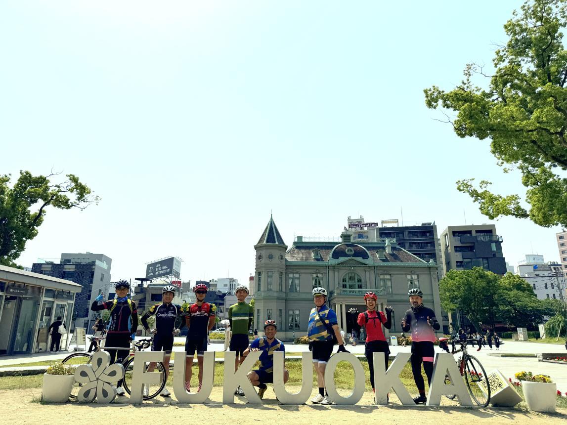
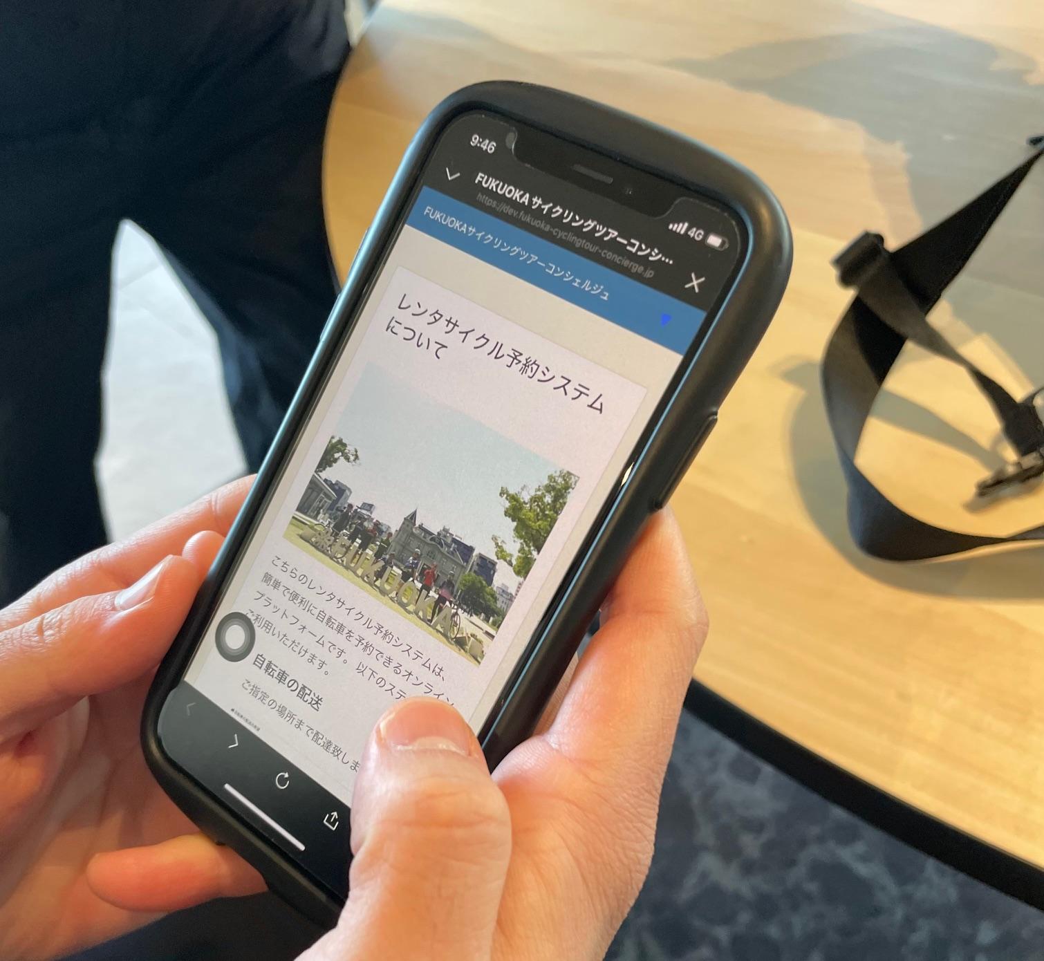
From high-quality rental bikes perfect for long rides, to cycling guides who help you discover all the highlights of unfamiliar areas, and support cars that ensure safe group rides—planning everything on your own can be overwhelming. To make your experience smoother, the Fukuoka Prefectural Tourism Association has launched the FUKUOKA Cycling Tour Concierge, a service that provides these essentials in one place according to your tour needs. We offer options for both individual travelers (BtoC) and travel agencies (BtoB).
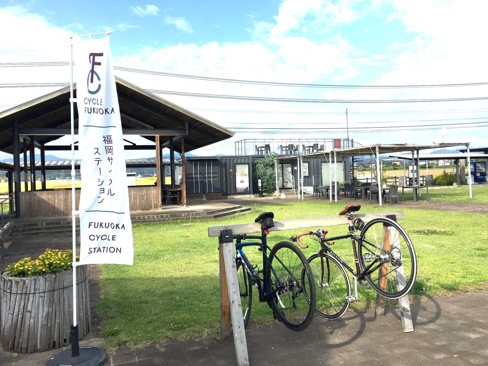
Cyclists Welcome! Fukuoka Cycle Station
“Fukuoka Cycle Stations” are facilities equipped with bicycle stands where cyclists can stop by casually and take a break during their ride. In addition to enjoying the cycling routes and model courses, it’s also recommended to visit the Cycle Stations themselves as destinations on your ride!
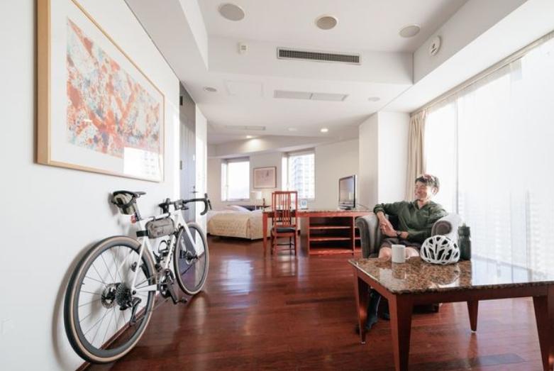
A “cyclist-friendly inn” where you can stay with your bike in peace
What is a “Cyclist-friendly inn”?
These are accommodations that provide various services for guests, such as bringing bicycles into the guest room and lockable bicycle storage areas, in order to provide a safe and comfortable stay for those who tour around by bicycle. If the facility allows guests to bring their own bicycles into the guest room, you can stay overnight while viewing their beloved car! A variety of hotels are registered, from those in urban areas to those in traditional Japanese-style houses that offer hideaways!
For reservations, please contact any of the hotels listed in the “Cyclist-Friendly Accommodations in Fukuoka Prefecture” below.
Nishitetsu Tenjin–Omuta Line Cycle Train
You can bring your bicycle onto the limited express trains of the Nishitetsu Tenjin–Omuta Line.
It’s very convenient—you can make reservations or changes easily on LINE right up to the last minute! Expand your range of cycling adventures by using the Cycle Train.
☆ From October 7, 2024, the service is also available on weekdays.
☆ From October 5, 2024, Kasugabaru Station has been added as a new eligible station.
Events
MOVIE
※ログインやポイント・スタンプ機能などをご利用の場合は、別ウィンドウで表示してください。→別ウィンドウで大きく表示










![[2025] Strawberry Picking Spots in Fukuoka-1](https://www.crossroadfukuoka.jp/storage/special_features/49/responsive_images/9ZHgrqvQdpH8tM4IRF54DXu0aPBF3YGGkj5WOTGc__1673_1115.jpg)
![[2024 Edition] Filled with blessings! The ultimate Fukuoka power spots to bring you happiness.-1](https://www.crossroadfukuoka.jp/storage/special_features/320/responsive_images/6SsCvBDXBhlZoAGUgarTOpZpEaEwsIqsWzSxW8cw__1289_856.png)
