[Forest Therapy Base Sasaguri] Arata Round Tour Course
【森林セラピー基地篠栗】荒田周遊コース
![[Forest Therapy Base Sasaguri] Arata Round Tour Course-0](https://www.crossroadfukuoka.jp/storage/tourism_attractions/15546/responsive_images/5GrNIiTe65YMTZkfh1AsCzlvY0ViJqA3A3tLNFlc__1024_768.jpg)
![[Forest Therapy Base Sasaguri] Arata Round Tour Course-1](https://www.crossroadfukuoka.jp/storage/tourism_attractions/15546/responsive_images/WsLmuy2AI0To7IzhyUeQR0aIQxf59QvMrhFqRA8z__1024_768.jpg)
![[Forest Therapy Base Sasaguri] Arata Round Tour Course-0](https://www.crossroadfukuoka.jp/storage/tourism_attractions/15546/responsive_images/5GrNIiTe65YMTZkfh1AsCzlvY0ViJqA3A3tLNFlc__599_449.jpg)
![[Forest Therapy Base Sasaguri] Arata Round Tour Course-1](https://www.crossroadfukuoka.jp/storage/tourism_attractions/15546/responsive_images/WsLmuy2AI0To7IzhyUeQR0aIQxf59QvMrhFqRA8z__599_449.jpg)
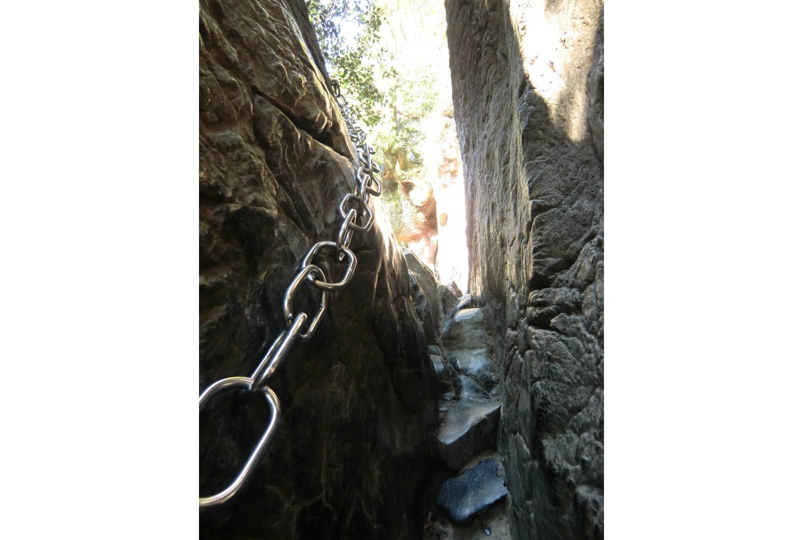
This is a circular course through the Kayagakura Forest Road, passing Wakasugi Taisogu Shrine Kamimiya - Komenoyama Summit - Komoreyonomori Forest, and then to the Arata Plateau.
The cedar trees seen along the Kayagakura Forest Road are multi-tiered forests, with towering large trees lined with lower trees, forming two or more layers between the towering trees.
The view from the 594-meter-high Komenoyama Observatory offers a spectacular panoramic view of Fukuoka City and Hakata Bay. The total distance of the course is 10 km and takes about 3 hours, but you will feel a great sense of accomplishment when you finish the walk.
Start: Arata Plateau
Goal: Arata Plateau
Distance: 10 km (about 3 hours)
Elevation: Approximately 530 meters
Difference in elevation: approximately 186m
Basic Information
| Address (Japanese) | 811-2405 福岡県糟屋郡篠栗町篠栗2672(荒田高原) |
|---|---|
| Address | 2672 Sasaguri, Sasaguri-machi, Kasuya-gun (Arata Plateau) |
| Telephone Number | 092-947-1217(篠栗町産業観光課) |
| Contact | Sasaguri Town Industry and Tourism Division |
| Car Park | Arata Plateau |
| Website | https://sasaguri-therapy.jp/ Course Information |
*Information on facilities is subject to change. Please check each official website for the latest information.
Share
- Area
- Fukuoka Area
- Category
- Hike & Trek Activities & Outdoors
 Neighborhood Sightseeing spots
-
![[Forest Therapy Base Sasaguri] Falling Sun Course](https://www.crossroadfukuoka.jp/storage/tourism_attractions/15545/responsive_images/UZ3M13mOFLjxtcKHVtQAiARQLro5hlxfwU2Qlllo__1649_1237.jpg)
[Forest Therapy Base Sasaguri] Falling Sun Course
-
Scissors Rock (Wakasugi Okunoin)
-
Sannoji Wind Bell Festival
-
![[Forest Therapy Base Sasaguri] Married Couple Cedar Course](https://www.crossroadfukuoka.jp/storage/tourism_attractions/15547/responsive_images/mIsL2jVrdtatjdEWdiRD0o9EdfRhXkz9cESZDQx9__1680_2519.jpg)
[Forest Therapy Base Sasaguri] Married Couple Cedar Course
-
![[Forest Therapy Base Sasaguri] Jugei no Mori Course](https://www.crossroadfukuoka.jp/storage/tourism_attractions/15550/responsive_images/KqIclSC2hFA4Q3LLH8vIcfTz60NAwkvOpjMVdsP2__1570_1047.jpg)
[Forest Therapy Base Sasaguri] Jugei no Mori Course
-
![[Forest Therapy Base Sasaguri] Hydrangea Course](https://www.crossroadfukuoka.jp/storage/tourism_attractions/15548/responsive_images/d0sTl3UzJPTtDiUK8aRBsMprLeiRMqse4Qhxss1T__1649_1237.jpg)
[Forest Therapy Base Sasaguri] Hydrangea Course
-
Sarayama Park
-
Sasaguri-machi sougou Sports Park (Kabuto no Mori Park)
-
Yamaya Factory Terrace
-
Hisayama Hot Springs Hotel Yumeka
-
Ipponmatsu Park (Showa Forest)
-
Plum blossoms at Yakiyama Arboretum
-
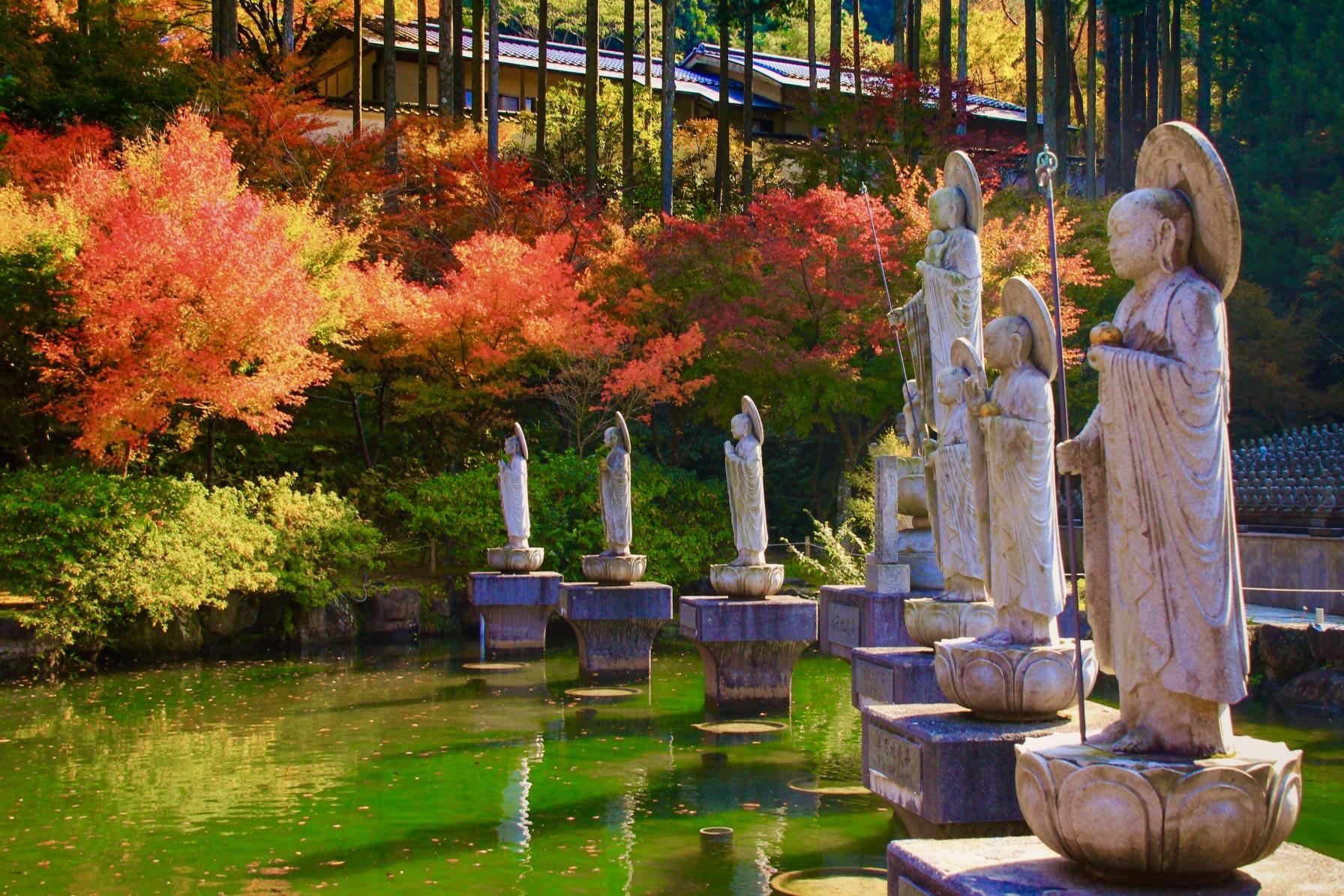
The Maple Leaves of Tennoin Temple
-
![[Forest Therapy Base Sasaguri] Sasaguri Kyushu University Forest Course](https://www.crossroadfukuoka.jp/storage/tourism_attractions/15549/responsive_images/k0gBE6sCO77QX4L1q8H2PE4JFcthhJeIr4uiBYJf__768_1024.jpg)
[Forest Therapy Base Sasaguri] Sasaguri Kyushu University Forest Course
-
Umi Shrine
-
Umi Hachiman Shrine Release Party
-
Kyushu’s train station with the most stairs
-
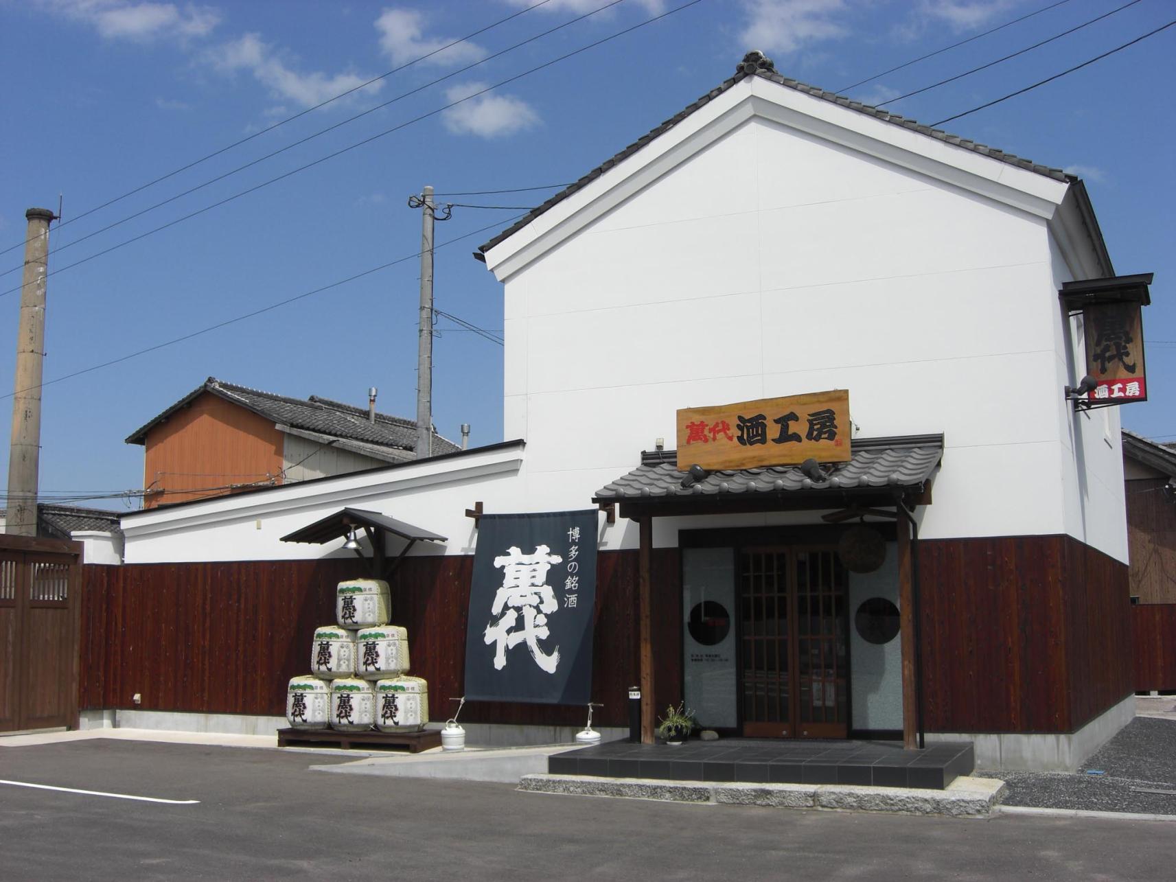
Bandai Sake Kobo
-
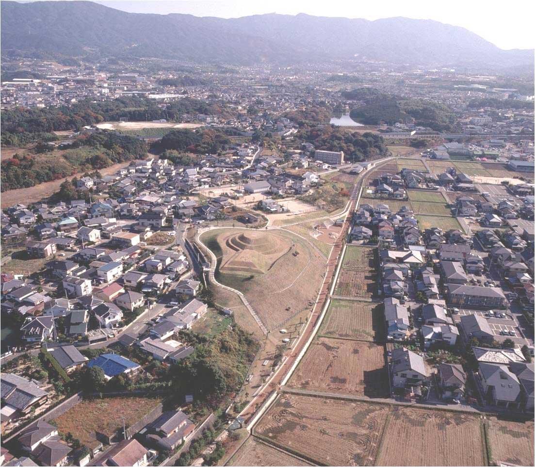
Kousouji Tumulus
-
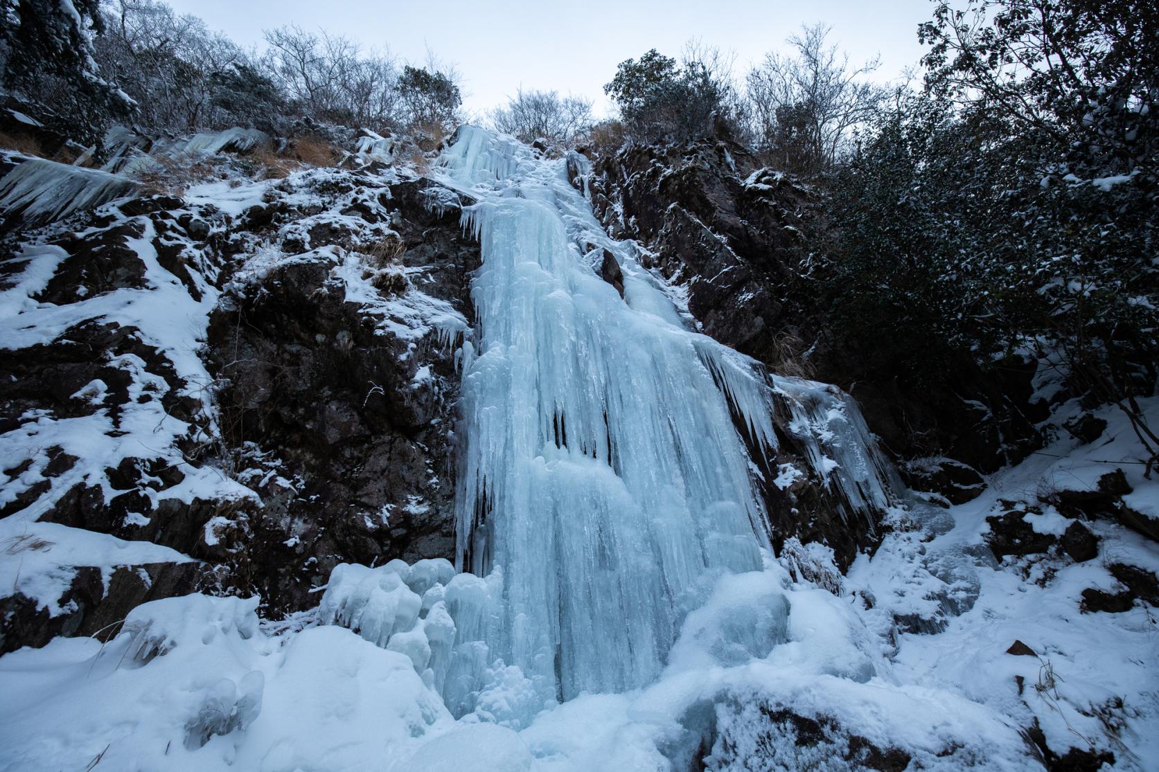
The Great Icicle of Kawaradani (a.k.a. Nanshogataki Waterfall)
People who viewed this page also viewed these pages.
-
[Forest Therapy Base Sasaguri] Falling Sun Course
-
[Forest Therapy Base Sasaguri] Married Couple Cedar Course
-
[Forest Therapy Base Sasaguri] Jugei no Mori Course
-
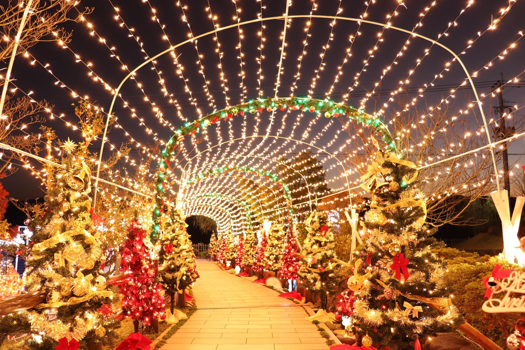
【2024~2025】Light up places in Fukuoka
-
1 Day in Yanagawa : Immerse yourself in the historic atmopshere of this Edo Period castle town
-

10 Recommended Dishes in Fukuoka! Discovering the Region’s Finest Foods
-
2 Days in Yame : Explore a samurai castle town and spend a night in a luxuriously restored historical building.
-
Exploring Food Culture of the Chikugo Region in Fukuoka Prefecture
-

Here are the most popular souvenirs of Fukuoka that you won’t want to miss!
-
![[2024 Edition] Your Guide to Fukuoka Prefecture's Best Fall Foliage Destinations](https://www.crossroadfukuoka.jp/storage/special_features/279/responsive_images/49m7voPHQ1J9tJsmiguwSxPT6qZON51ATRvm5NJK__1673_1115.jpg)
[2024 Edition] Your Guide to Fukuoka Prefecture's Best Fall Foliage Destinations
-
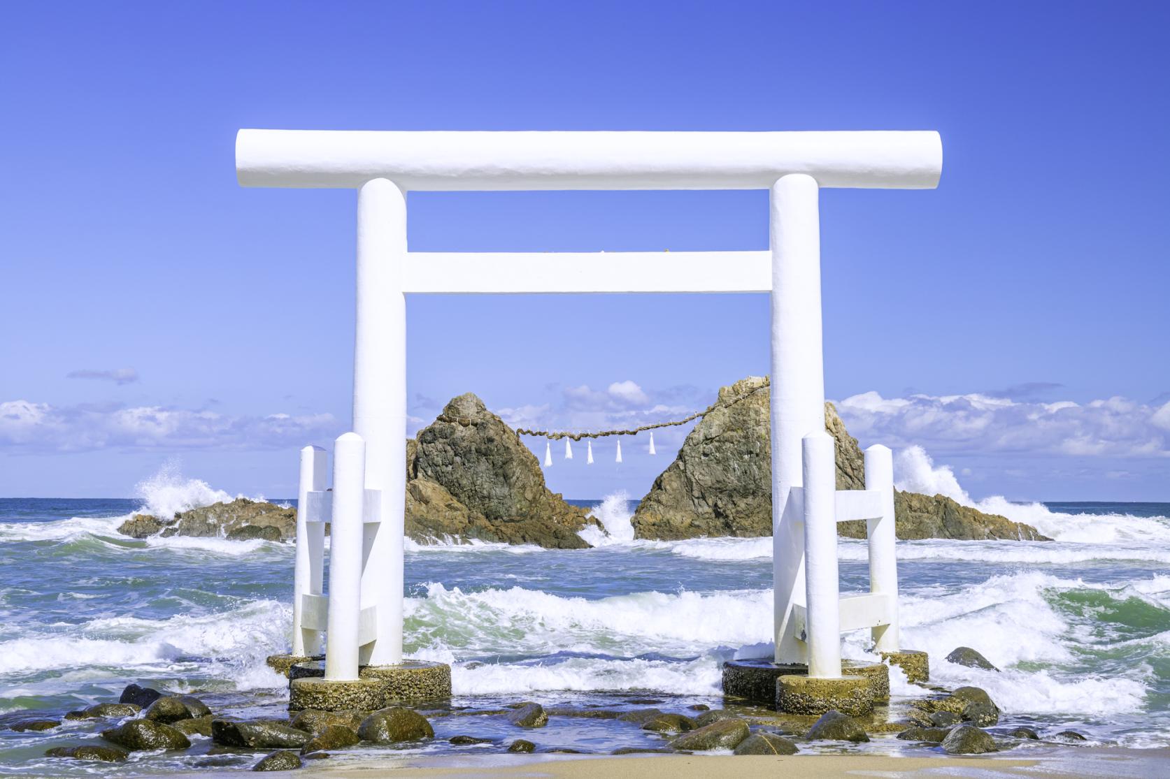
Sakurai Futamigaura
-
TIPS FOR TRAVELING IN FUKUOKA PREFECTURE
-
10 Recommended Shrines and Temples in Fukuoka!
-
Mojiko Port Retro Countdown
-
Kushida Shrine
-
Uminonakamichi Seaside Park
-
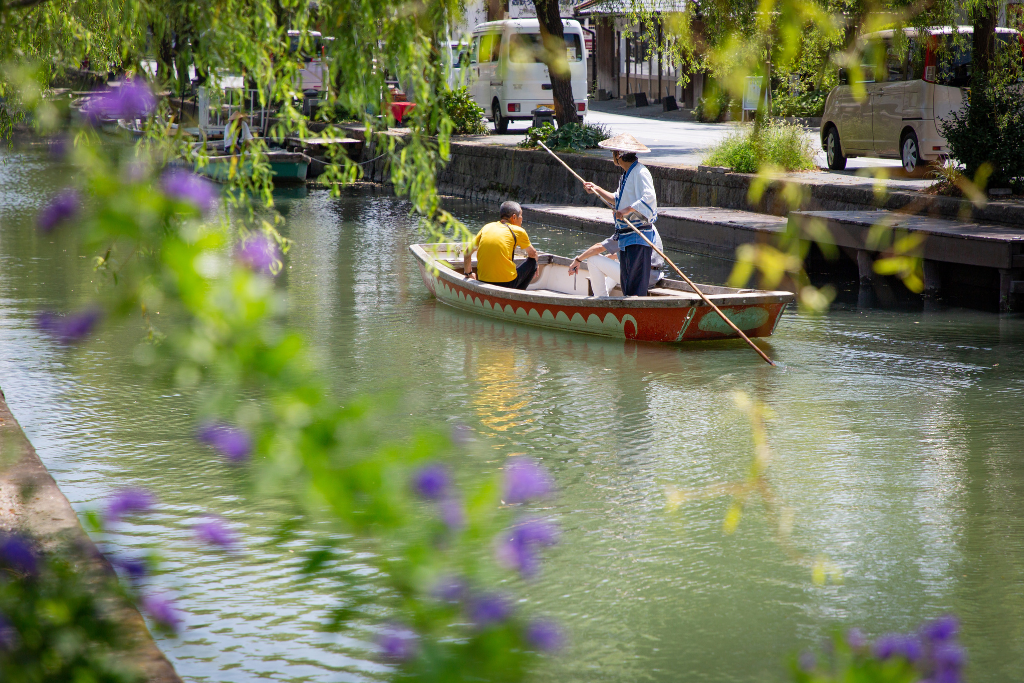
river cruise of the Yanagawa
-
Kawachi Wisteria Garden
-
CYCLE FUKUOKA
-
How to experience Mojiko Retro in Kitakyushu